What the FAA’s New Proposed Drone Rule Means for You
March 20, 2025
From construction sites to farmland, drones are changing how we work. But collecting drone footage is only the beginning. The real value comes from what you do with that data and how you connect it to the systems you’re already using. That’s where drone data integration comes in.
Drone Source Technologies helps businesses across Texas and beyond turn drone footage into real-time insights that drive smarter, faster decisions for you and your company. Here’s our guide on integrating your drone data to improve your business operations.
Why Drone Data Integration Matters
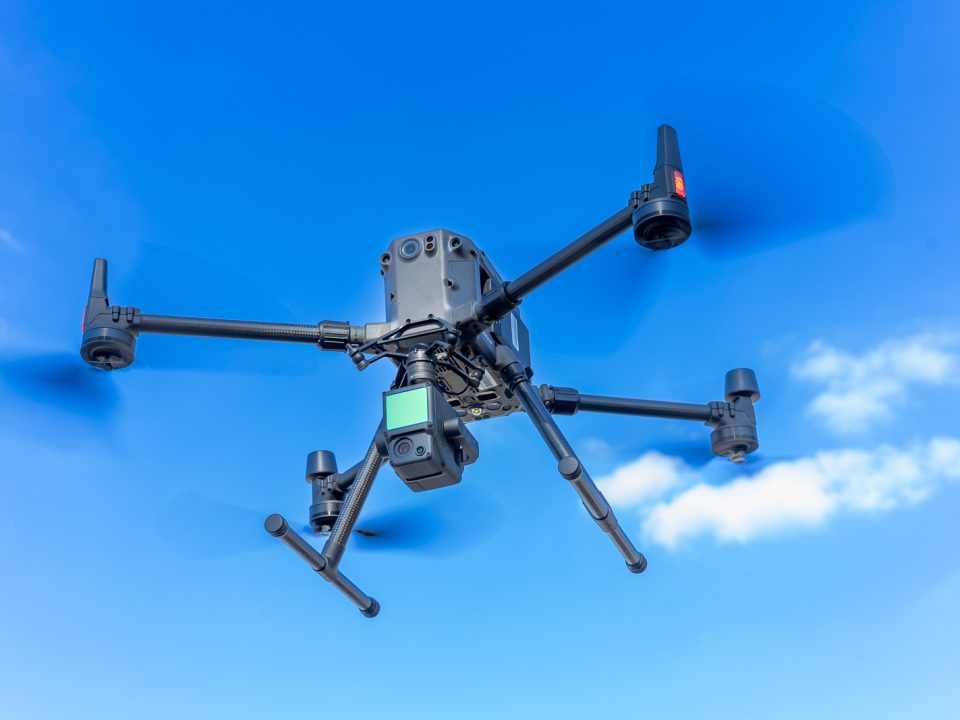
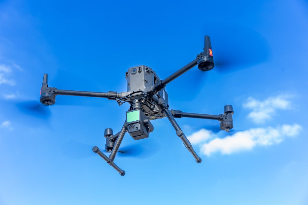
Drones today are not the same drones that first hit the market in 2010. They can now capture an incredible amount of information from topography and temperature to crop health and structural progress. But without proper data integration, all that information stays locked in raw files and disconnected systems.
When drone data is integrated with tools like GIS, BIM or AI-powered platforms, it becomes actionable. No matter your job—whether it’s monitoring a job site or assessing field conditions— having that data flow into the right systems means quicker responses and better outcomes.
Smarter Decisions, Faster Results
When your drone data is connected to the rest of your workflow, it essentially becomes a live feed of insight into your daily operations. On construction sites, that could mean identifying grading issues before they cost time and money. In agriculture, it might mean spotting signs of crop stress before a harvest is at risk.
Let Automation Do the Heavy Lifting
Automated data processing takes the pressure off your team. Instead of manually analyzing drone footage, smart systems process it for you, highlight what matters and feed it into your dashboards. You save time and dramatically reduce the chance for human error.
Types of Drone Data
Remote Sensing
Remote sensing lets drones capture info from a distance like temperature readings, moisture levels and even plant health. With sensors like LiDAR, thermal and multispectral cameras, drones give you a detailed picture of your environment without ever even touching the ground.
Precision Agriculture
Drones have become an essential tool in farming. Precision agriculture drones can monitor crop health, irrigation patterns and even detect pest issues. When integrated into your farm management systems, that data helps you make timely adjustments that improve yields and reduce waste.
Multispectral imagery
Multispectral imagery makes it possible to assess soil conditions from the air. With drone data integrated into mapping software, you can plan targeted soil treatments and make smarter decisions about planting, watering and fertilizing, ultimately helping you save time and money.
How to Make Integration Work for You
Choosing the Right Drone Mapping Software
Not all mapping tools are created equal. Look for software that:
- Works with your existing systems (like GIS or CAD)
- Allows real-time collaboration
- Uses cloud storage for easy access
- Has built-in AI features for faster analysis
Real-Time Data Means Real-Time Decisions
With the right setup, you don’t have to wait hours or days for analysis. Drone data can be processed and visualized almost instantly, helping you make decisions on the fly.
What’s Next for Drone Data?
AI and Machine Learning Are Changing the Game
Artificial intelligence is speeding things up. It can scan footage, identify objects, flag safety issues and even make predictions, all without human input. As AI evolves, your drone data will become more valuable and easier to use.
More Industries Are Getting On Board
While drone data integration is already common in construction and agriculture, we’re seeing major growth in oil and gas, utilities and public safety. The more tools become user-friendly and industry-specific, the more ways we’ll find to use drone data effectively.
Drone data is powerful, but it becomes truly valuable when you can actually use it. Integrating your drone footage with the rest of your tools gives you real-time insights, better control and faster results.
Our team at Drone Source Technologies is here to help you make the most of your drone program. No matter your industry, we can help you build an integration strategy that works for your business. Contact us today to learn more on how we can help.